Mount Torlesse Station
Springfield | 12th July 2026
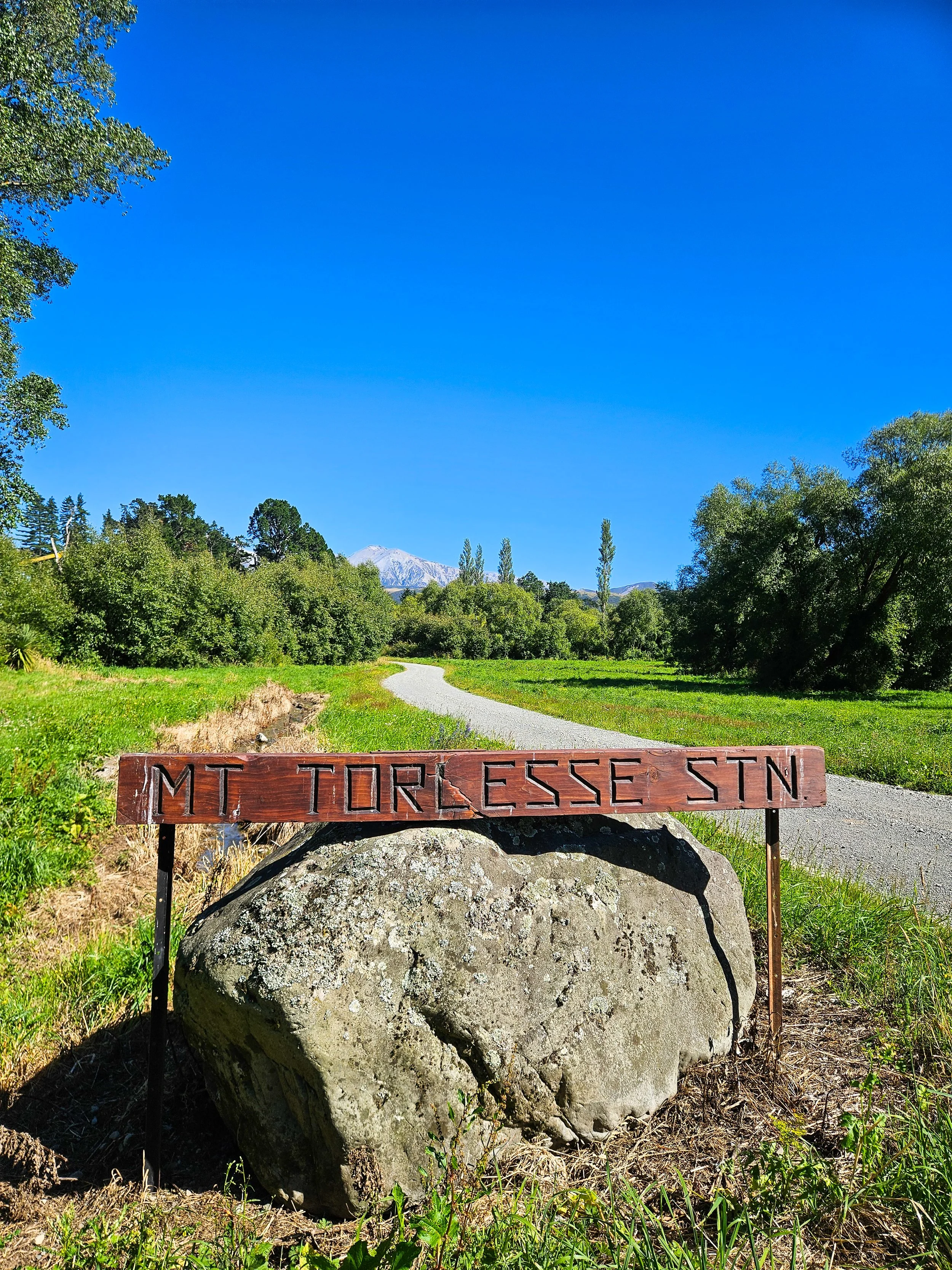
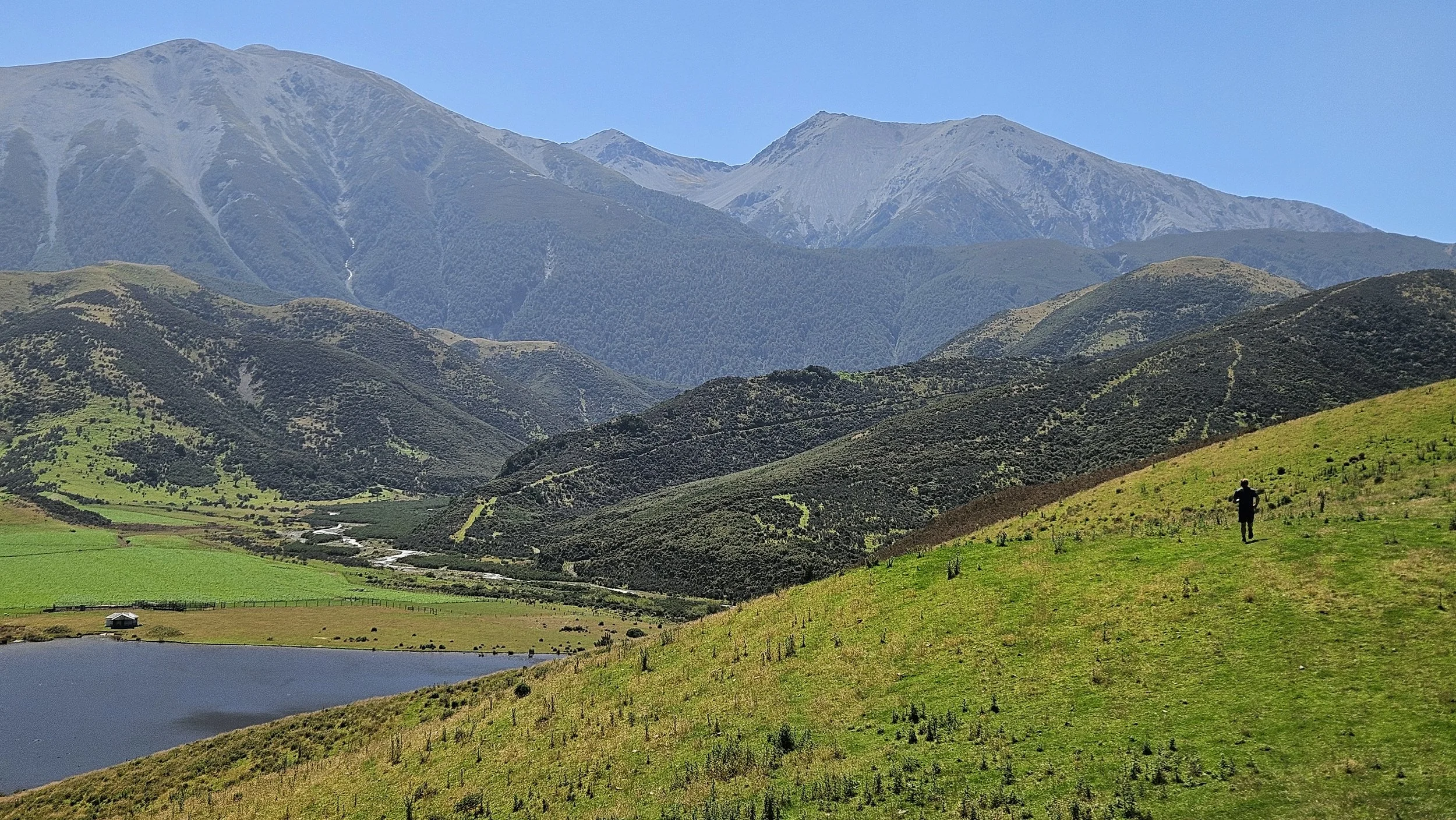
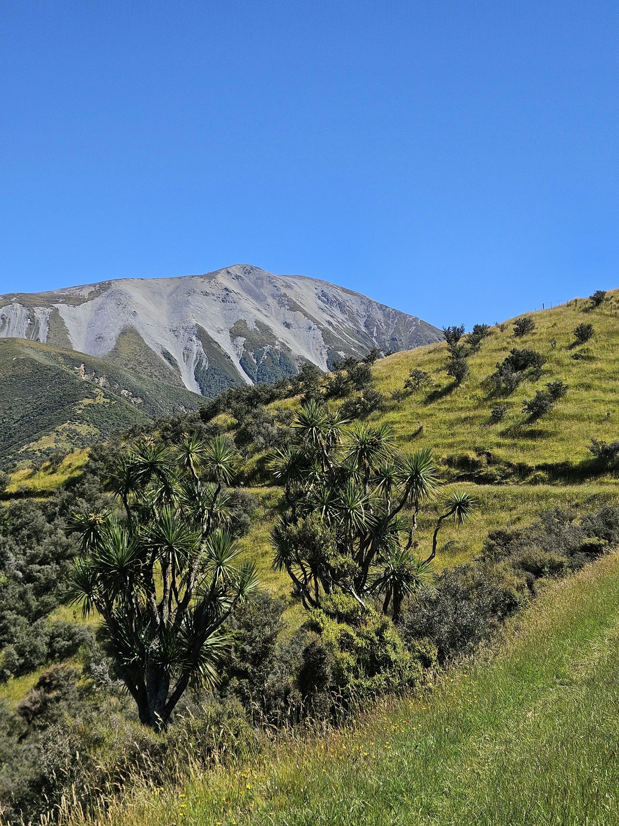
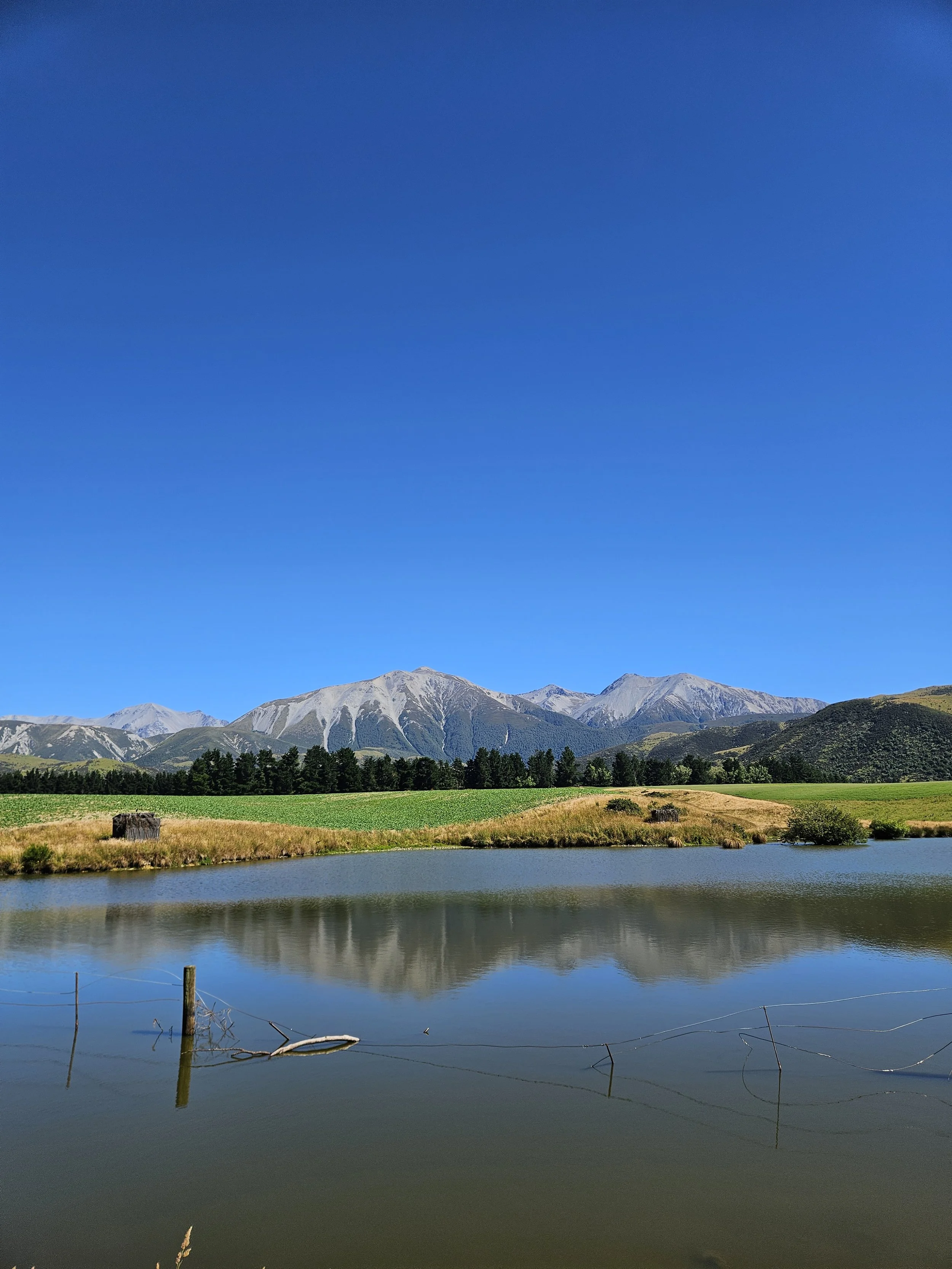
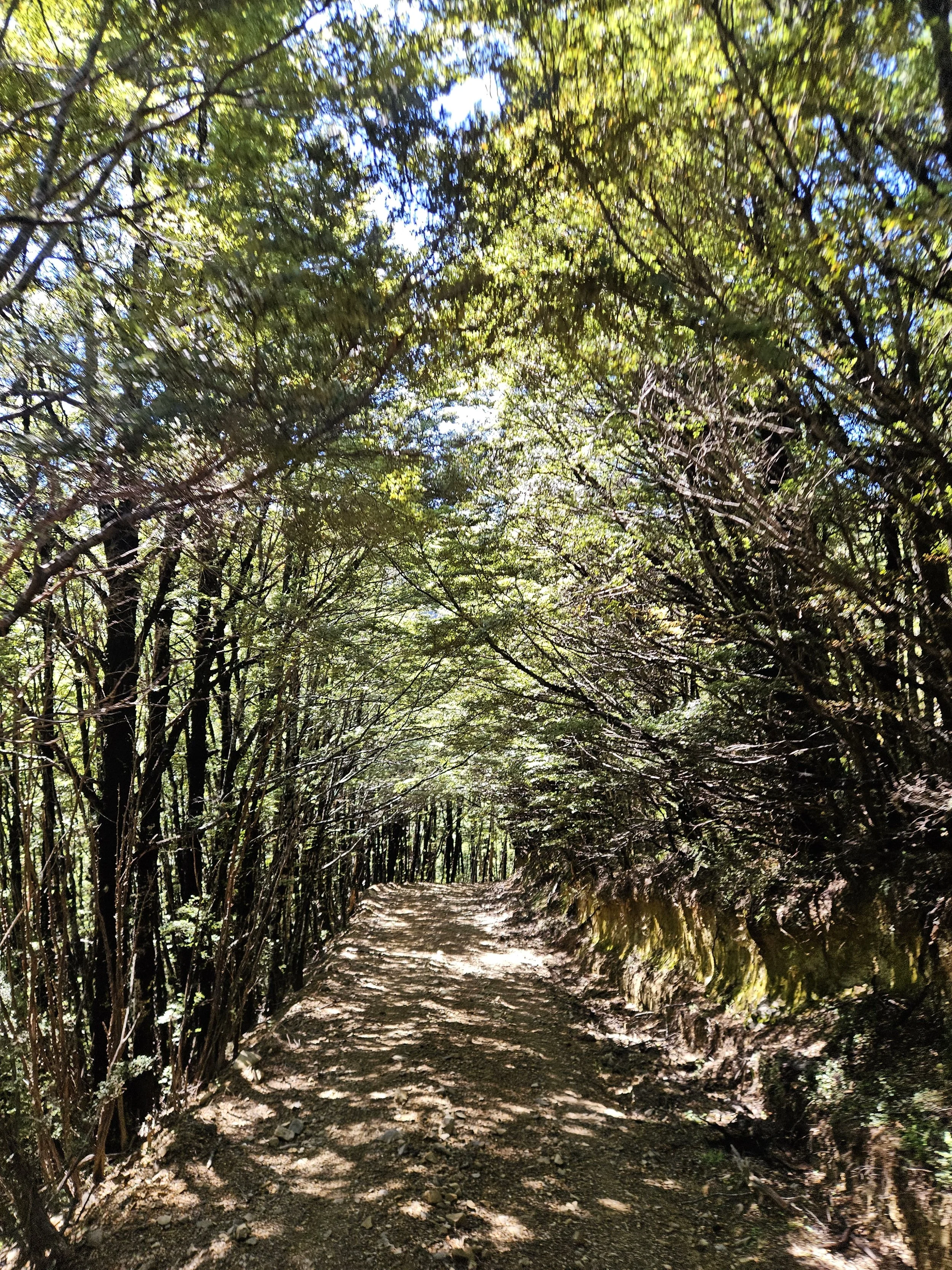
Event #3 in the series. Located just five minutes northeast of Springfield, at the base of the incredible Mount Torlesse, this venue delivers a classic Canterbury high-country trail experience. Runners traverse rugged rocky tracks, open tussock slopes, and sheltered pockets of mānuka and beech forest - with the added thrill of creek crossings that will leave you with wet feet and a smile. Long climbs and exposed ridgelines open up to breathtaking views of the Mount Torlesse Range and sweeping panoramas across the Canterbury Plains back to Christchurch. Raw, remote, and unforgettable.
All entry fee’s are visible on the Entry Info page.
Navigate to:
Course Options and Details | Schedule | Compulsory Gear | Aid Stations | Prizes and Place getters | Event village location | Food | Course Maps | Sponsors
Course Options & Details
Expect: hills, mud, rocks and fun.
*Weather may affect the exact course. See terms and conditions.
-
Distance: 6.3km
Elevation: 135m
Warm up well with 1.5km up the farm road then up onto a terrace dipping in and out of the mini bush gullies before heading straight up to the summit of Caesars Hill. At the top you might be treated to incredible views of the private lake, the unique and rare red tussock, the mountain range and upper Little Kowai River. Down an exclusive single track (likely muddy!) you’ll send your way down to the riverside. Following the river back we treat you to a small section of river bed to experience some more adventure before the final stretches to the finish line.
-
Distance: 11.1km
Elevation: 525m
Warm up well with 1.5km up the farm road then up onto a higher terrace dipping in and out of mini bush gullies before heading straight up to the summit of Caesars Hill. At the top you might be treated to incredible views of the lake, the unique and rare red tussock, the mountain range and upper Little Kowai River. Down an exclusive single track (likely muddy!) you’ll send your way down to the riverside. Following the river up to a river crossing you’ll join the Epic course. Here the big hill begins, around 300m vert up the Kowai Bush spur. After the climb you’ll divert off down a side spur for a fun and technical descent all the way back to the river further downstream, crossing over again then across to the finish line.
-
Distance: 21.3km
Elevation: 1020m
Warm up well with 4km of fun undulating farm road before beginning your first big climb, these tracks take you right to back end of the station and the base of the Torlesse mountain range. After the saddle and views of the neighbors Lake Rubicon you go up ‘The Zig Zags’ a steep rocky track then down into blissful beech tree forest. Descending your way to the upper reaches of the Little Kowai River, make sure to look up at the mountains and the specatcular ‘Monkey Face’. Follow the river all the way back to near Lake Caesars before crossing the river. Here the final big hill begins, around 300m vert up the Kowai Bush spur. After the climb you’ll divert off down a side spur for a fun and technical descent all the way back to the river further downstream, crossing over again then across to the finish line.
Schedule
7:30am – Race check-in & number collection opens
8:45am – Race check-in closes (Endurance Epic)
8:55am – Mandatory course briefing (Endurance Epic )
9:00am – Race start (Endurance Epic)
9:15am – Race check-in closes (Midi Mountains)
9:25am – Mandatory course briefing (Midi Mountains)
9:30am – Race start (Midi Mountains)
9:45am – Race check-in closes (Slope Sprint)
9:55am – Mandatory course briefing (Slope Sprint)
10:00am – Race start (Slope Sprint)
3:00pm – Last finishers expected
3:30pm – Event village closes
Important: All competitors must check in and collect their race number before starting.
Compulsory Gear
All gear listed is the minimum requirement to be carried. You can not start the race without it. You must check the weather forecast, dress appropriately.
We may reduce your minimum gear requirements if the weather on the day allows. The pre-race email will notify you of this. Note: These reductions apply based on the forecast conditions at the time the email was sent. If conditions change before or on race day, the Event Director reserves the right to reinstate any gear requirement in an email the day prior or/and the pre-race briefing. Please arrive prepared.
It is winter, it can be very cold and wet! All locations have potential to have snow, rain and temperatures close to zero. We want to run this event in most conditions so please wear the right gear!
All spare clothing must be in a dry bag or plastic snap-lock bag to keep your gear dry until required. If you are warm we can all have fun! When choosing thermal clothing it must be THERMAL e.g. Merino or Polypropylene - NOT sport dry fit clothing e.g. ‘skins’.
Participants may be subject to random gear checks.
Failure to carry compulsory gear may result in being withdrawn from the event.
-
All participants must carry the following:
Waterproof jacket — fully waterproof, seam-sealed, with hood
Mobile phone — fully charged and switched on
Any personal medication (must be recorded in your entry form)
A suitable pack, vest, or waist pack with sufficient capacity to carry all compulsory gear.
Recommended Equipment:
The following items are strongly recommended:
500ml water or sports drink — strongly recommended, particularly in warm conditions or if you are a slower runner.
Emergency survival foil blanket/bag
Lightweight gloves and beanie
Thermal mid-layer top
Energy snacks (e.g. PURE gels, lollies, bars)
All spare clothing and gear must be carried in a dry bag or waterproof snap-lock bag.
-
All participants must carry the following:
Waterproof jacket — fully waterproof, seam-sealed, with hood
Thermal base layer top (wool or synthetic)
Thermal beanie or hat
Mobile phone — fully charged and switched on
Any personal medication (must be recorded in your entry form)
Energy/nutrition — e.g. lollies or PURE energy gels. Sufficient for your expected duration (typically 1–3 hours)
Capacity to carry a minimum of 500ml of Water/Hydration fluid.
A suitable pack, vest, or waist pack with sufficient capacity to carry all compulsory gear.
Recommended Equipment:
The following items are strongly recommended, particularly in cold, wet, or windy conditions:
Emergency survival foil blanket/bag
Thermal gloves
Additional warm layer
All spare clothing and gear must be carried in a dry bag or waterproof snap-lock bag.
-
All participants must carry the following:
Emergency survival bag (foil bivvy/bag — blankets are not acceptable)
Waterproof jacket — fully waterproof, seam-sealed, with hood
Thermal base layer top (wool or synthetic)
Thermal mid-layer top (warmer than a base layer)
Thermal beanie or hat
Mobile phone — fully charged and switched on
Any personal medication (must be recorded in your entry form)
Energy/nutrition — e.g. lollies or PURE energy gels. Sufficient for your expected duration (typically 2–5 hours)
Minimum 500ml of water or sports drink (capacity to carry 1000ml+ recommended)
A suitable pack, vest, or waist pack with sufficient capacity to carry all compulsory gear.
Recommended Equipment:
The following items are strongly recommended:
Small personal first aid kit
Waterproof overtrousers — seam-sealed
Thermal gloves
Additional warm layer
All spare clothing and gear must be carried in a dry bag or waterproof snap-lock bag.
Aid Stations
Aid Stations are only available for the Midi and Epic course. Actual location may differ if course is changed due to weather. (You will receive an email the day before or at very least at race briefing). There will be drink available at the finish line for all competitors.
At each aid station there will be:
PURE Sport Nutrition Electrolyte Drink
Plain Water
No cups - To help reduce waste and our environmental footprint, we do not provide disposable cups at aid stations. Please carry your own bottle, cup, or hydration system to refill on course. We recommend this cup, or this flask.
Midi Mountains: 1x Aid station
Location:
5.1km - Base of final hill
Epic Endurance: 1x Aid station
14.6km - Base of final hill
Prizes & placegetters
Each event is participation focused with no prizegiving on the day of the events.
Spot prizes will be awarded at random to competitors on event days as they cross the finish line. Runners who complete all four trail running events will compete for series prizes, awarded to the top three male and female finishers within each age group and distance. All are welcome to celebrate the end of the season with a Series prizegiving. Series prizegiving will be 28th August 2026 - 6pm to 8pm at Christchurch Adventure Park.
Event village location*
We cannot provide an address to the exact location of the event. Follow the steps below instead:
Follow the directions to a road junction with Kowai Road and Mount Torlesse Road using this google map link: https://maps.app.goo.gl/AyMTTwm22zrC76CR8
At this junction you will turn up a gravel road called Mount Torlesse Road. This is the private entrance to the farm station. Follow this road for 3km where you will arrive at the event venue. We will have some signs to follow on event day. Please be careful when crossing the railway (no warning lights or bells). Do not try to access the venue via Rubicon road.
*A friendly reminder that the locations are private land. You may only visit this location on race day.
Food
A local fundraising group will be providing food for sale on the day.
Please support this group. Cash is the method of payment.
COurse maps
Navigate to:
A friendly reminder that all locations are private and can only visited on event day.
Please note: GPS tracks can be slightly inaccurate to real life. Course markings must be followed on the day of the event instead of a saved GPX on your GPS device.
SLOPE SPRINT MAP
midi mountains MAP
epic endurance MAP
sponsors